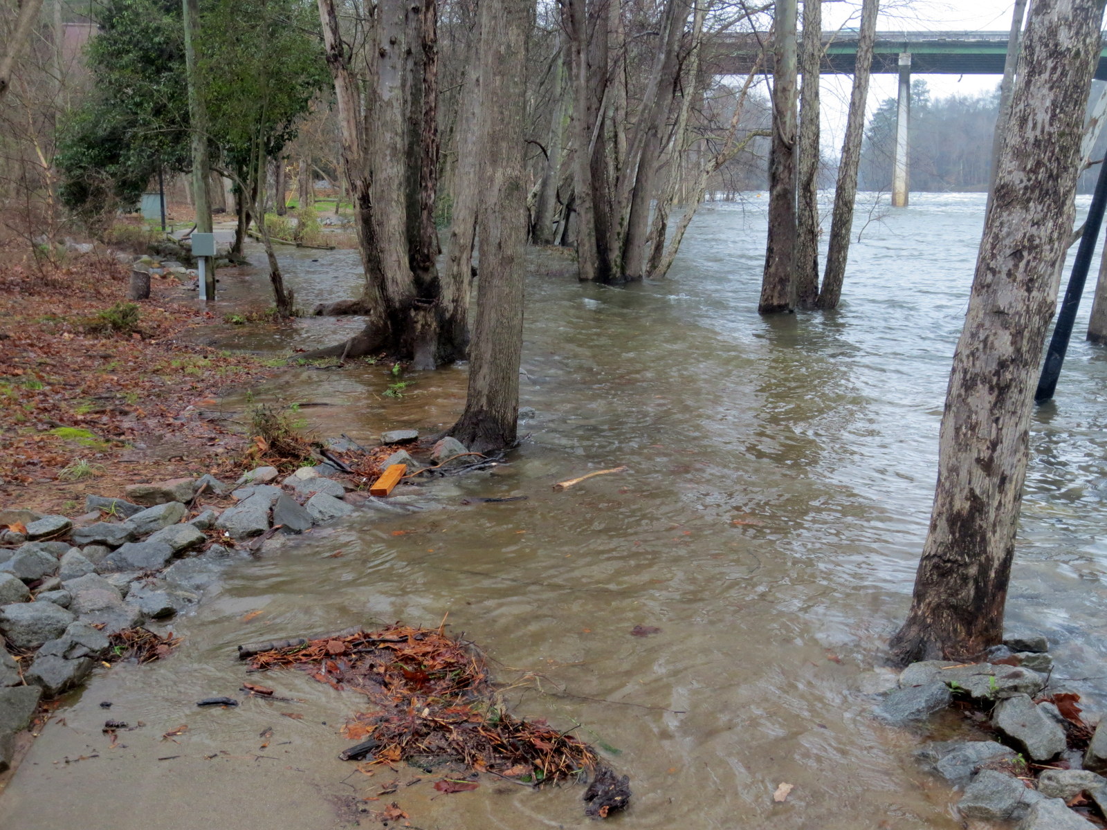
Lexington County prepares for flood conditions

Release from the Lexington County Public Safety Department
Lexington County Prepares for Possible Flood Conditions
The Lexington County Department of Public Safety and emergency response partners continue to make preparations for any potential effects from Hurricane Joaquin and predicted heavy rainfall from a separate weather system, which might produce flooding in our county.
People in potentially vulnerable areas should review their plans and consider actions to take if the storm threatens their area. Residents and visitors, especially people in low-lying areas throughout the area county, should monitor the storm via local news media and through updates from the National Hurricane Center.
When there is potential for flooding in your area:
Be aware of potential flash flooding. If there is any possibility of a flash flood, move to higher ground. Do not wait to be told to move.
If time allows, prepare your home for a flood by moving essential items to an upper floor, bring in outdoor furniture, disconnect electrical appliances and be prepared to turn off the gas, electricity and water.
Do not walk through moving water. Six inches of moving water can make you fall. If you have to walk in water, walk where the water is not moving. Use a stick to check the firmness of the ground in front of you.
Do not drive into flooded areas. If floodwaters rise around your car, abandon the car and move to higher ground if you can do so safely. You and the vehicle could be quickly swept away. One foot of water can cause your car to float off the roadway.
- Consider the following:
– Pond dam owners should raise flood gates or remove flow boards to relieve water pressure now.
– Ensure you are prepared for special medical needs (i.e. power supplies for respirators, access to medications, oxygen, etc.)
– Review the American Red Cross Flood Safety Checklist
Given the uncertainty of Hurricane Joaquin’s projected path, the South Carolina Emergency Management Division recommends the following:
- Monitor storm conditions via local media, the National Hurricane Center and the National Weather Service offices that serve South Carolina.
- Understand the difference between a Watch and a Warning. A Tropical Storm Watch means tropical-storm conditions are possible within 48 hours. Stay tuned for additional advisories. A Tropical Storm Warning means tropical-storm conditions are expected within 36 hours. If you are advised to take safety precautions, do so immediately.
- Keep supplies in vehicles, top off fuel, secure important documents: If the storm approaches South Carolina, individuals and families should fill up their cars with gas. Road maps, nonperishable snack foods, a first-aid kit that includes a supply of your family’s prescription medications, and convenience items such as diapers should be available in the car. Secure important documents in waterproof packaging.
- Consider the safety of pets: Pets are not allowed in American Red Cross shelters. You should plan to board pets with veterinarians, kennels, or other facilities in non-vulnerable areas. Identification and rabies tags should be attached to the pets’ collars.


